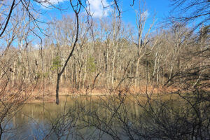
I love this little one mile loop in Garin Regional Park. This is an easy hike because it’s short, the elevation change is minimal, and the trail is usually wide and flat (sometimes not so much on the last leg). The loop goes around a large meadow (great for kite flying and soccer for the kiddos), along the east side of a creek, around Jordan Pond, and back up the west side of the creek. For a detailed look, check out the all-trails map here. (https://www.alltrails.com/explore/map/garin-jordan-pond-loop-1-mile-easy-b23f522) (Download that map, the park doesn’t have cell service.)
Description:
The creek and pond make for great plant and animal action. Check out my plant observations from this hike here. The wide meadow and wide, well maintained trail make it great for kids too (this hike is mostly stroller accessible – just turn back at the creek spillway and make it an out and back instead of a loop). It’s also far enough from the road to get less vehicle noise than a lot of local green spaces.
On the (kinda) down side, there is frequent airplane noise. With the kids, that’s not always a down side – they still think airplanes are cool. It’s also quite popular. But really, I don’t think that’s a bad thing either. Just don’t expect to be on the trail alone – even if you go on weekdays and in off hours. Also, you’ll be outside of cell range for all carriers I know about, so download the trail map and don’t rely on being reachable.
Interesting bits:
Garin is part of a larger property, which includes Dry Creek Regional Park, and the Meyers Cottage and gardens. It was a working ranch and apple orchard back in the day (that day was in the 1800s). There are still apples on the property and there are still something like 160 apple varieties grown in the park. Garin hosts an annual apple festival and the old barn and blacksmith shop is open Saturdays in the summer. For more info on these, check out the park website here.
Activities:
Picnics – There are lots of picnic tables – many with barbeques. On summer weekends, they fill up quickly (especially holiday weekends).
Fishing – the pond has bass, bluegill, sunfish and catfish in it. You’ll need a CA state license to fish it.
Horseback Riding – horses are a common sight, as there are some nearby stables.
Hiking – This one mile loop is a small part of the park, there are many longer hikes, and there are hills on both sides of the park if you’d like a climb. It also hooks up with Dry Creek Park to the south, and there are connecting paths via the Bay Area Ridge trail to Five Canyons Open Space in Castro Valley.
Other interesting bits – The park has real bathrooms with flushing toilets and sinks with running water (they’re near the barn). There are also a bunch of extremely cool old farm implements – mostly in the parking lot, but also scattered around the park.
Plants:
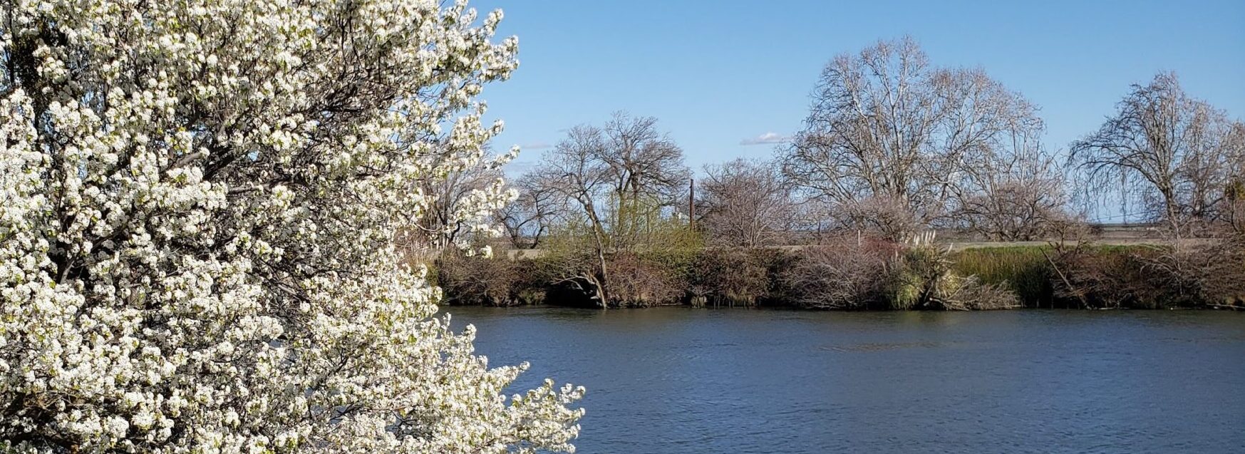
I usually go to a hike hoping to spot some particular plants, and a few others usually catch my eye. This time, I was on the lookout for the California Sycamore (Plantanus racemosa), Blackberries (Rubus spp.), Poison Oak (Toxicodendrun diversilobum), Coast Live Oak (Quercus agrifolia), and Hummingbird Flower (Epilobium canum). I was successful on the first three, I think I found the Oak tree, but didn’t get enough data to get through the keys, and I couldn’t find the Hummingbird Flower with it’s flowers still on. I may have found the plant, but without the flowers I didn’t want to try to key it. While I was there, the ones that caught my eye were: Giant Reed (Arundo donax), California Bay (Umbelluraria californica), and Rough Cocklebur (Xanthium strumarium), among a few others.
See all my inaturalist observations from the hike here.
Getting there:
The park address is 1320 Garin Ave, Hayward, CA 94544. From Mission Boulevard, turn east on Garin Avenue, and continue to the end. If you’re walking or biking to the park, be aware that the Garin Ave. is quite steep. While technically accessible via bus from Mission Blvd., it’s a tough hike up a nasty hill. There is a very large parking lot, which I’ve never seen completely full – even on holiday weekends. Paste these coordinates into google maps: 37.62817007329567, -122.02931171556025 to get to the parking lot.